Cold Front 6 Shuts Gulf Ports, Brings Up to 250 mm of Rain
Cold front No. 6 has closed ports in Veracruz, Tabasco and Tamaulipas. The rain and wind forecast by state, and what Civil Protection asks people to do.
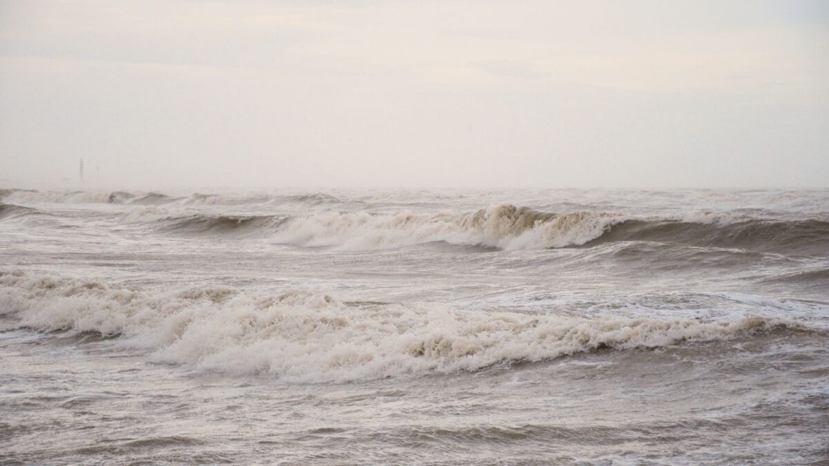
Cold front No. 6 has shut ports across the Gulf of Mexico, as Mexico’s navy, Semar (Secretaría de Marina), restricted shipping in Veracruz, Tabasco and Tamaulipas. A strong “Norte” wind event is bringing gusts of up to 90 kilometers per hour and high waves, Publimetro México reported on Nov. 17.
The National Weather Service, SMN (Servicio Meteorológico Nacional), said in its 14:00 forecast on Tuesday, Nov. 17, 2026 that parts of Veracruz, Oaxaca, Chiapas and Tabasco could see torrential rain of 150 to 250 millimeters. The National Civil Protection Coordination, CNPC (Coordinación Nacional de Protección Civil), warned of floods, landslides and rising rivers and streams.
Which Gulf ports are closed
Semar closed these ports to large vessels:
- Veracruz: Veracruz, Tuxpan, Coatzacoalcos and Alvarado.
- Tabasco: Dos Bocas, Frontera and Sánchez Magallanes.
Small boats face restrictions at more locations:
- Tamaulipas: Tampico, Altamira, La Pesca, Matamoros and Presa Vicente Guerrero.
- Veracruz: Veracruz, Tuxpan, Coatzacoalcos, Alvarado, Tecolutla, Tamiahua, Nautla, Cazones, Tlacotalpan and Tonalá.
- Tabasco: Dos Bocas, Frontera and Sánchez Magallanes.
Local harbor masters (Capitanías de Puerto) decide how long the closures last, and the list can change as the weather develops.
Rain forecast by state
The SMN said the front has stalled over the Gulf of Mexico and the east and southeast of the country. Combined with an upper-level trough, a band of low pressure high in the atmosphere, it is producing rain of different strength by region. The afternoon update on Nov. 17 gave this outlook:
- 150 to 250 mm in spots: southern Veracruz, northern and eastern Oaxaca, northwestern Chiapas and western Tabasco.
- 50 to 75 mm in spots: northern, central and southern Quintana Roo.
- 25 to 50 mm in spots: southeastern Puebla, southwestern Campeche and eastern and northern Yucatán.
Earlier in the day the CNPC had forecast 50 to 75 millimeters for Veracruz, Oaxaca, Chiapas and Tabasco. The later SMN forecast raised the expected totals in some areas.
Winds and waves along the coast
The polar air mass behind the front is driving a strong to very strong Norte along the Gulf coast and the Isthmus of Tehuantepec. The SMN forecast gusts of 70 to 90 km/h in central and southern Veracruz and in the isthmus and Gulf of Tehuantepec, in Oaxaca and Chiapas, and gusts of 50 to 70 km/h on the Tamaulipas coast.
Waves of 3 to 4 meters are expected off Veracruz and 2 to 3 meters off Tamaulipas, Tabasco and in the Gulf of Tehuantepec. Separate weather systems are pushing waves of 4 to 5 meters onto the west coast of Baja California.
What it means for residents and travelers
Civil Protection said the winds can bring down trees, billboards, poles and light structures. It asked people on the coast to stay off beaches, jetties and breakwaters while the conditions last.
The CNPC’s safety measures include:
- Do not cross flooded streets, rivers, streams or fords on foot or by car.
- Stay away from ravines, unstable slopes and areas at risk of landslides.
- In flood-prone areas, find the nearest temporary shelter.
- Pack an emergency bag with important documents and essentials.
- Tie down sheet-metal roofs, water tanks, tarps and loose objects.
- Keep away from trees, poles, billboards and power lines that could fall.
- Stop water activities and follow navigation restrictions.
The agency asked people to follow only official sources and the instructions of their local Civil Protection office.
What happens on Wednesday
The SMN expects the front to stay stalled over the Gulf of Mexico on Wednesday, Nov. 18, with 50 to 75 millimeters of rain in spots in Veracruz, Oaxaca, Chiapas and Tabasco. Gusts of up to 90 km/h should continue in the isthmus and Gulf of Tehuantepec, while winds in Veracruz ease gradually. The polar air will keep mornings cold to cool in the north, center and east of the country.
Officials warned that danger can remain after the rain eases, because rivers keep rising and soaked ground stays unstable. Updates and port reopenings are posted by the SMN, Conagua (the National Water Commission), the CNPC and the harbor masters.
Source: Publimetro México