Brugada Opens Ajusco Safe Circuit With 179 Cameras and Solar Lights
Mexico City opened the Circuito Ajusco Seguro with 179 cameras, 90 solar lights and GPS wristbands for hikers in the Ajusco forest.
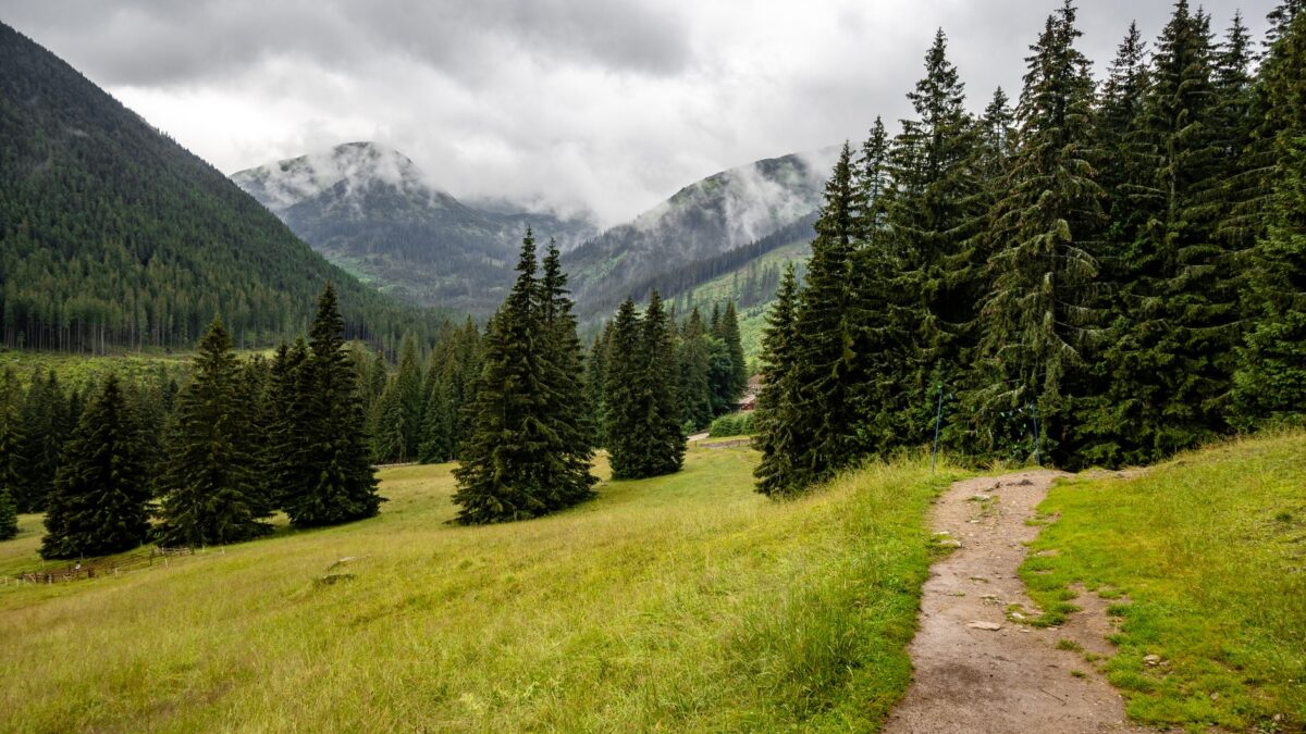
Mexico City Mayor Clara Brugada has opened the Circuito Ajusco Seguro, a security and connectivity program for the forested Ajusco area in the south of the city. According to El Economista, the city put more than 83 million pesos into it. Hikers and cyclists who go into the reserve’s trails now have to carry a GPS wristband.
The work was done with the communal landholders (núcleos agrarios) of Santo Tomás and San Miguel Ajusco, in the Tlalpan borough.
What was installed on the circuit
The city installed 90 solar-powered lights along 20 kilometers of roads that had no public lighting. It also added 179 surveillance cameras, three license plate recognition sensors and three security modules, and it extended telecommunications coverage in the high-mountain zone.
Brugada said the camera system raises technological coverage in the region by 150 percent. The cameras run on solar power, use satellite links and are wired to the C5 (the city’s command and monitoring center) and the C2 Sur. Loudspeakers on the poles carry earthquake alerts. A radio base on Cerro del Pelado lets police coordinate emergency responses.
Entrances and other strategic points are watched around the clock. On weekends, extra staff go to the busiest spots, such as Valle del Tezontle and Valle de las Cantimploras.
Phone coverage after two decades
Some parts of Ajusco had gone more than two decades without phone coverage, Brugada said. Internet access points have now been set up, and the city tested communication all the way to the top of Pico del Águila.
Guides, wristbands and a renovated lodge
Trails for hiking, mountaineering and high-altitude walking are open only with local guides and community forest rangers. According to the mayor, the guides received more than 200 hours of training in high-altitude tourism and first aid, and they are now certified. The GPS wristbands let officials follow visitors on the paths, and a registration and control system tracks who goes in.
Through the Altépetl program, the city also rebuilt the Albergue Alpino, a lodge more than 50 years old. Work covered the dormitories, fireplace, thermal-water pool, dry toilets, cabins, shelters, access booths and watchtowers.
A new body, the Comité de Administración del Volcán Ajusco, will organize activities. It includes community representatives and has five work areas: operations, services, administration, maintenance and communication.
Why it matters
For anyone who hikes on Ajusco, the rules on the mountain have changed. Visitors who enter the trails and campsites now wear a tracked wristband and go with a certified local guide. Lit roads, cameras and phone coverage now reach areas that had none.
Officials framed the program as a way to protect the forest and the communities that own it. Brugada said the project respects communal property and that “not a single centimeter of territory” is lost. Humberto Adán Peña Fuentes, head of the city’s natural resources and rural development commission (CORENADR), said illegal logging and looting of natural resources in the area have been eliminated. Tlalpan Mayor Gabriela Osorio Hernández said the borough added lights, road markings and street furniture, and expects the project to bring more tourists and revive the local economy.
The community plan behind it
Brugada said the Plan Maestro del Ajusco (Ajusco Master Plan) was approved unanimously by 604 communal landholders from Santo Tomás and San Miguel Ajusco. It followed a diagnosis, participatory workshops and more than 50 field tours.
Source: El Economista