Cold Front 8 Brings Lows to -10 C in Mexico, Light Rain in CDMX
Cold front 8 could drop mountain temperatures to -10 C by Sunday, Nov. 22. Mexico City should see only isolated showers. Here are the forecasts.
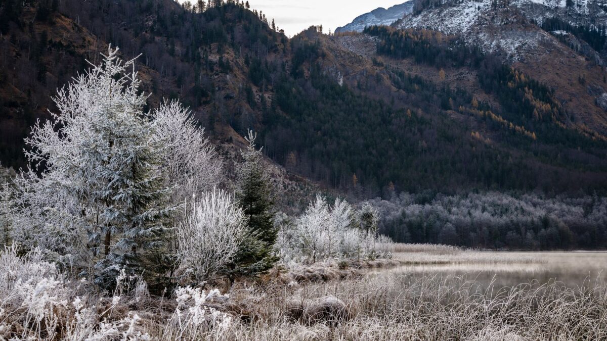
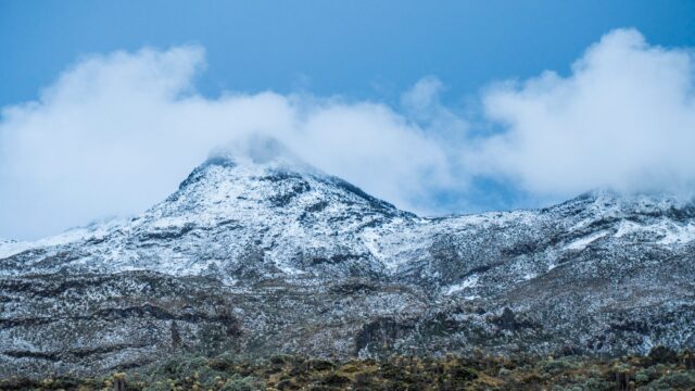
Cold front number 8 is moving across northwestern and northern Mexico and will bring freezing mornings to mountain areas. Mexico’s National Meteorological Service (SMN) forecasts lows of -10 degrees Celsius on the morning of Sunday, Nov. 22, in the mountains of Baja California and Durango, with frost in other states.
Mexico City is not in the cold zone. The forecast for Saturday, Nov. 21, calls only for isolated rain in the capital, the State of Mexico and other central states.
Where the cold will hit
The SMN expects the lowest temperatures in the first hours of Sunday, in the northern mountain regions:
- -10 to -5 degrees: mountain areas of Baja California and Durango.
- -5 to 0 degrees: mountain areas of Chihuahua.
- 0 to 5 degrees: mountain areas of Sonora, Nuevo León, San Luis Potosí, Zacatecas, Aguascalientes, Jalisco, Michoacán, Guanajuato, Querétaro, Hidalgo, State of Mexico, Tlaxcala, Puebla, Veracruz and Oaxaca.
Afternoons will stay warm in several states. Highs of 35 to 40 degrees are forecast for Saturday afternoon in Sinaloa, Michoacán, Guerrero and the Oaxaca and Chiapas coasts. Highs of 30 to 35 degrees are expected in places including Morelos, Jalisco, Yucatán and Quintana Roo.
Rain, wind and waves
Showers of 5 to 25 millimeters are forecast for Saturday in Baja California Sur, Chihuahua, Durango, Sinaloa, Nayarit, Jalisco, Colima, Michoacán, Guerrero, Oaxaca and Chiapas. Isolated rain of 0.1 to 5 millimeters is expected in a longer list of states that includes Mexico City, Puebla and Veracruz.
Wind is strongest in the north. Chihuahua and Durango will see winds of 30 to 40 kilometers per hour with gusts of 50 to 70. Gusts of 40 to 60 are forecast for the Gulf of California, Baja California, Sonora and Coahuila, and gusts of 30 to 50 for several central and northern states. In Oaxaca, northerly winds of 20 to 30 kilometers per hour could gust to 40 to 60.
Waves of 2 to 3 meters are forecast on the west coast of the Baja California peninsula. Along the coasts of Jalisco, Colima, Michoacán, Guerrero, Oaxaca and Chiapas, waves should reach 1 to 2 meters.
What it means for residents
For people in the capital, the front means a day of possible light showers and no freeze. Travelers heading to northern mountain states face frost and strong wind. Mexico’s national water commission (Conagua) warned that winds of 50 kilometers per hour or more can knock down trees and billboards, and asked people to follow SMN alerts and instructions from civil protection (Protección Civil) authorities.
The system is interacting with a trough in the middle and upper atmosphere, a dry line, the subtropical jet stream, low-pressure channels and moisture from both oceans, the forecast says.
Source: Expansión Política